|
Dry Canyon / Dry Creek Trail |
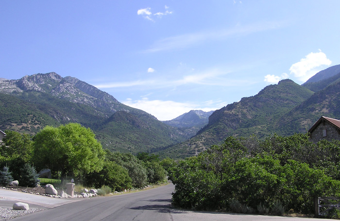 Dry Canyon from Northeast Alpine by Milt Moody ©Milton G. Moody |
|
Directions: Take State Highway 92 west from the mouth of American Fork Canyon. At 5300 west in the town of Highland turn north and follow the main road into the town of Alpine. From Main Street in Alpine turn east on 200 North. Go to 200 East (becomes Grove Drive) and turn north and continue about 1.8 miles to a "T" in the road. Turn Right then immediately left and follow the road to the parking area for the Dry Creek Trailhead. Description: The trail is very rocky, steep and beat to pieces by horse traffic. However, if you want to test your ability to identify birds by sound above the roar of the stream, or to test your physical condition, go for it. Take along plenty of water. About two miles east of the trailhead there are a couple of beautiful waterfalls. The vegetation is box elder, oak-maple and up the trial becomes white and Douglas fir. eBird Data: | American Fork Canyon | Birds: Winter Wren, Warbling Vireo, MacGillivray's Warblers (common), Nearby: | Alpine Loop |
Highland Glen Park |
Jordan River Parkway - Lehi |
Silver Lake Flat | |
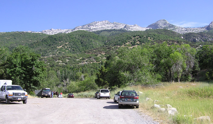 Dry Creek
Trailhead Parking Lot by Staff Photographer
©utahbirds.org |
|
|
|
|