(To print a county map along with this information,
go to the Print
Center)
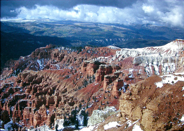
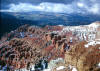
Brian Head Peak
 |
Directions: Go south from Parowan on UT 143 about 12 miles to
the road to Vista Point and Brian Head Peak. Turn left and go 3 miles to
the parking lot. |
|
Details |
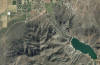
Bulldog Road Pond
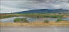 |
Directions: Go south from Parowan on UT 143 about 12 miles to
the road to Vista Point and Brian Head Peak. Turn left and go 3 miles to
the parking lot. |
|
Details |
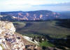
Cedar Breaks National Monument
 |
Directions: Go about 18 miles east of Cedar City on UT 14 and
turn north (left) on UT 148. Go about 4 miles to Cedar Breaks. |
|
Details |
Cedar Canyon & SR 14
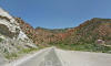 |
Directions: Take Center Street (UT 14) going
east from Cedar City. |
|
Details |
Cedar Valley
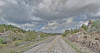 |
Directions: Cedar Valley runs in a southwest to northeast
direction just west of Cedar city. |
|
Details |
Enterprise Area
(Enterprise is in Washington Co.)
 |
Directions: Go about 40 miles west from Cedar City. (The
town of Enterprise is about 15 miles south on SR 18). |
|
Details |
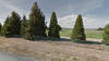
New Castle Reservoir
 |
Directions: Turn east on 200 South from Main Street in New
Castle and go about 1 mile to the Reservoir. |
|
Details |

|