|
Buffalo Ranch (Pond and Trail) |
 |
|
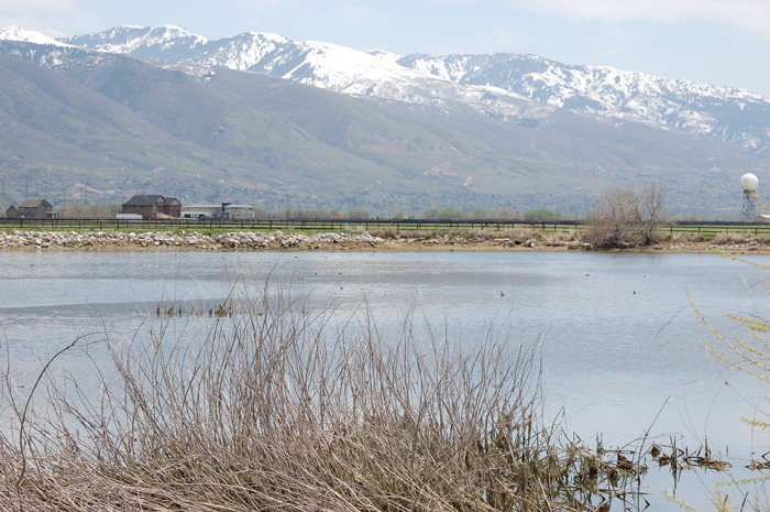
Buffalo Ranch by Carol Gwynn |
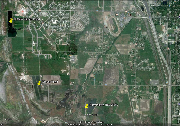
(Submitted by Kris Purdy - 24 Apr 2011) Description: The pond features shallow open water next to extensive Great Salt Lake wetlands to the west and a subdivision to the east. The flat trail, elevation about 4200 feet, is a good walking or bike riding surface and passes through agricultural land, a subdivision, and along pastures and wetlands. Directions: From I-15, take exit 324 (northbound) or 325 (southbound) for Park Lane. Turn west onto Park Lane and drive to the traffic light at Clark Lane. Turn west onto Clark Lane, drive west through the subdivision called Farmington Ranches, and park across the street (south) from the very obvious red buildings of the Buffalo Ranch complex. Enter the trail system on the north side of the road. You can also park at Glover Pond and enter the trail system heading north or west at the golf ball radar. Buffalo Ranch Pond is northwest of Glover Pond. Total loop is about 3 miles. Birding: The whole Buffalo Ranch Trail is a several-mile loop. The
best area for birding along the trail is at Buffalo Ranch Pond, and while you
can enter the trail system near the golf ball radar at
Glover Pond, the shortest distance to the pond is from the main Buffalo
Ranch complex (buildings are red) at the west end of Clark Lane. [See Google
Earth map above]. I parked there and estimate that walking the trail north, then
west, then south of the ranch buildings and paddocks was ½ to ¾ mile. Good Birds: Herons, egrets, waterfowl, grebes, terns. eBird Data: |
Buffalo Ranches Pond | Nearby: Glover Lane,
Farmington Bay,
Eccles WEC,
Bountiful Landfill, Kaysville Ponds,
Woodland Park |
 |
|
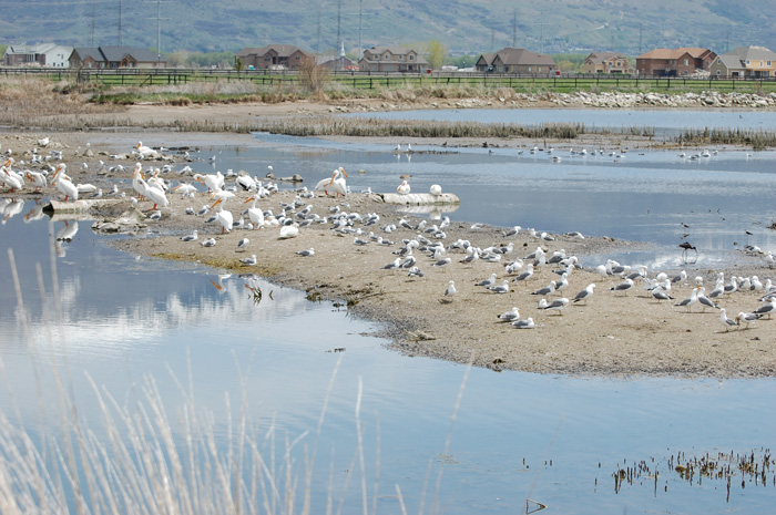
Buffalo Ranch Birds by Carol Gwynn |
 |
|
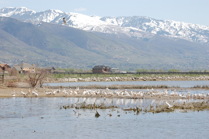
Buffalo Ranch, Spring Break by Carol Gwynn |
 |
|
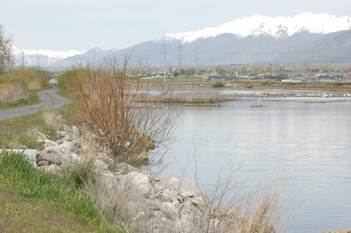
Buffalo Ranch, Mountains and Road by Carol Gwynn |
 |
|
Google Earth Map by Kris Purdy |
|
|