|
Popular Birding Places
Wayne County
|
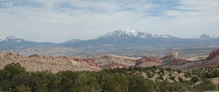 |
Capitol Reef from the Burr Trail by
Mia McPherson
©Mia McPherson
|
(To print a county map along with this information,
go to the Print Center)
|
Bicknell Bottoms
 |
Directions: Go east on UT 24 from Bicknell. After about 2
1/2 miles, turn right on a paved road that immediately crossed the Fremont
River. This 2 1/2 mile stretch of road along the river and the marshy
Bicknell Bottoms is a very good birding area. |
|
Details |
|
Boulder Mountain (from SR
12)
Directions: Go south from Torrey on SR12. (It's about 35
miles to the town of Boulder).
eBird Data: |
Boulder Mountain |
-- North Slope Rd (8000' to
8900') | -- Carcass Creek |
| -- White Canyon |
-- Singletree CG |
(Garfield Co.) |
-- Overlook |
-- Wildcat Meadow |
-- Oak Creek |
| Lower Bown's Reservoir
(4 miles east of Wildcat Ranger Station) |
Capitol Reef National Park
 |
Directions: Go 12 miles east of Torrey or 35 miles west of
Hanksville on UT 24 to the visitor center in Capitol Reef National Park. |
|
Details |
|
Fremont River (along SR 24 form
Fruita to Hanksville)
Directions: Caineville is about 16 miles east of
Fruita on SR24. About 18 miles farther east Locust Lane takes off from SR
24 just after it crosses the Fremont river just west of Hanksville. It
goes west along the south side of the river for about a mile or so.
eBird Data: |
Cainville -- Sweetwater Rd
| -- Locust Lane |
|
Fruita
Directions: Go 12 miles east of Torrey or 35 miles west of
Hanksville on UT 24 to the visitor center in Capitol Reef National Park.
Go about 1/2 mile southeast of the visitor center to Fruita with its orchards and
vegetation which makes for good birding.
eBird Data: |
Fruita CG |
Poison Springs Wash
Directions: Poison Springs Wash is about 15 miles southeast of
Hanksville.
|
Teasdale Area
Directions: Take 125 South going west out of Teasdale. In
about a mile the road will turn to the southwest and go up the canyon.
About 4 1/2 miles from Teasdale there's a fork in the road. 1. Go left a
little over a mile and bare right on to the road to Flatiron Lakes & Coleman
Reservoir. 2. Go right on the smaller road and continue a couple of miles up the
canyon to Bullberry Lake.
eBird Data: |
Teasdale -- 125 S St Canyon
(~7300' - 7800') |
| -- Flatiron Lakes &
Coleman Res. | --
Bullberry Lake |
|
Torrey Area
Directions: Torrey is on SR 24 about 13 miles west of the Capitol Reef
Nation Park Headquarter in Fruita. Sand Creek is northwest of town and
Morrell Ranch Road starts from SR 12 about 5 miles south of Torrey and runs a
couple of miles southwest to Teasdale Road.
eBird Data: |
Torrey -- Main St. |
-- Sand Creek |
-- Morrell Ranch Rd |
|
 |
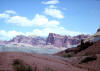
Capitol Reef National Park by Merrill Webb
©Merrill Webb
|
 |
|
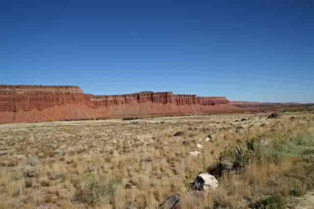
Capitol Reef National Park by Dan
Salemi ©Dan Salemi
(October 2005)
|
 |
|
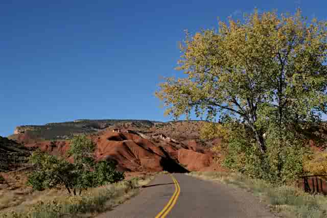
Capitol Reef National Park by Dan
Salemi ©Dan Salemi (October
2005)
|

|
|