|
Bryce Canyon National Park |
 |
|
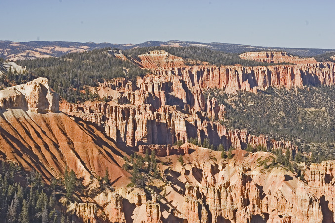
Bryce Canyon - Agua Canyon from Rainbow Point by
Brian Currie
©Brian L. Currie (24 Nov 2006) |
Panoramic view by Brian Currie (large file - 657 Kb and very wide) |
Directions: Go west from Tropic on UT 12 about 8 miles to the intersection with UT 63. Turn left and go about 2 miles. Website: National Park Service eBird Data:
| Bryce Canyon NP
| Bryce Canyon City
Ponds | -- Fairyland
Point | Fairyland
Loop Trail | |
 |
|
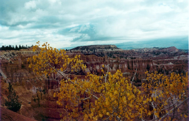
Bryce Canyon Under Cloudy Skies by
George Lyman
Fall 2002 ©George Lyman |
 |
|
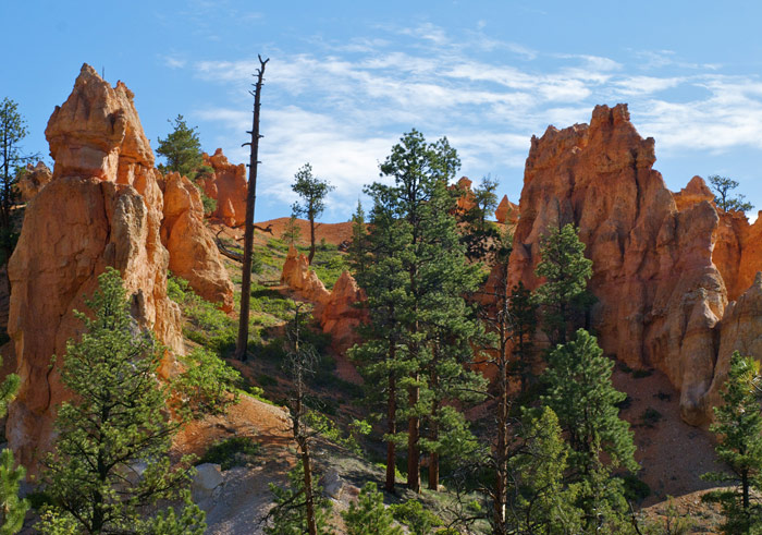
Bryce Canyon by
Susan Carlson
©Susan Carlson (June 2010) |
 |
|
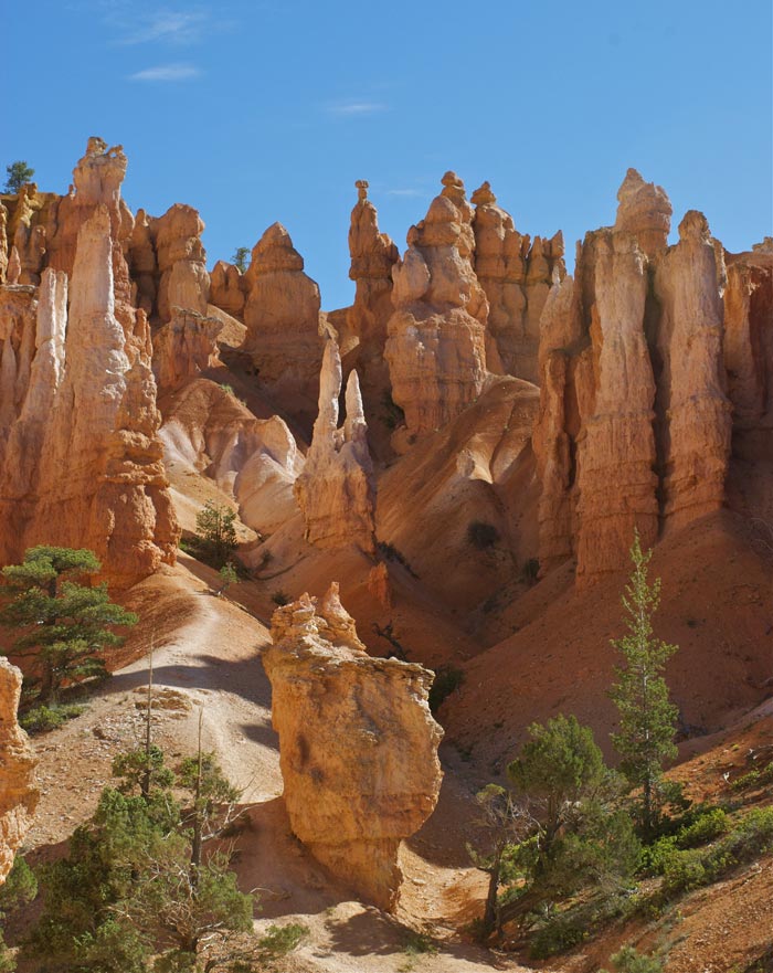
Bryce Canyon Up Close by
Susan Carlson
©Susan Carlson (June 2010) |
|
|