Adamsville
Suggested by Merrill Webb
Directions: Adamsville. Drive west on State Road #21 seven miles from
the center of Beaver. The road takes off to the right and you travel through
agricultural area to the few houses that make up Adamsville. By continuing on
through town the road bears south and access to the northern portion of
Minersville Lake is possible.
eBird Data: |
Minersville Reservoir |
Beaver Area
Directions: Beaver is just east of I-15.
eBird Data: |
Beaver Downtown |
Mountain View Cemetery |
(south of Beaver) |
Sleepy Lagoon |
United CG |
Indian Creek
Directions: Take exit 112 from I-15 in Beaver. Go east about .5
miles and turn left (north) on Manderfield Road. Go about 7 miles to the
sign for Indian Creek Road. (This is located about 2 miles south of the
town of Manderfield).
Description: Indian Creek Road is a gravel road for about 8 miles
until it gets to Mill Hollow Road were it becomes rough (more suitable for a
four-wheel drive).
Birding: Jays and riparian species
Greenville
Suggested by Merrill Webb and John Stratton
 Directions:
Take State Route #21 from the middle of the town of Beaver and drive west
under I-15 four miles to the turn-off south to Greenville. The road forks in
town. Go back east toward Beaver along Beaver Creek, or turn west and go
through agricultural and a little bit of residential area. . Directions:
Take State Route #21 from the middle of the town of Beaver and drive west
under I-15 four miles to the turn-off south to Greenville. The road forks in
town. Go back east toward Beaver along Beaver Creek, or turn west and go
through agricultural and a little bit of residential area. . |
|
Details |
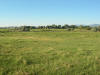
Mineral Mountains
Suggested by Merrill Webb
 Directions: From Beaver drive west
on State Route #21 to Milford which is a total of 31 miles. Stay on this
same road as it curves north
through Milford. Four miles north of Milford look for the road
going east to the Blundell Geothermal Plant. After driving nine miles there is a
junction. Continue on east toward the mountains. Directions: From Beaver drive west
on State Route #21 to Milford which is a total of 31 miles. Stay on this
same road as it curves north
through Milford. Four miles north of Milford look for the road
going east to the Blundell Geothermal Plant. After driving nine miles there is a
junction. Continue on east toward the mountains. |
|
Details |
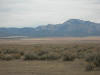
Minersville Lake Park
Suggested by Merrill Webb
 Directions: This is no longer a state park, but a small fee is
still required to access the picnic and boat ramp areas. The exit to the picnic
areas (and the south side of the reservoir where the dam is located) is twelve
miles from Beaver on State Road #21. Turn right (west) and drive less than one
mile to access the south part of the reservoir. There are actually two dirt
roads between Adamsville and this exit where access to the lake can be obtained.
Both are good for looking out over the lake. Directions: This is no longer a state park, but a small fee is
still required to access the picnic and boat ramp areas. The exit to the picnic
areas (and the south side of the reservoir where the dam is located) is twelve
miles from Beaver on State Road #21. Turn right (west) and drive less than one
mile to access the south part of the reservoir. There are actually two dirt
roads between Adamsville and this exit where access to the lake can be obtained.
Both are good for looking out over the lake. |
|
Details |
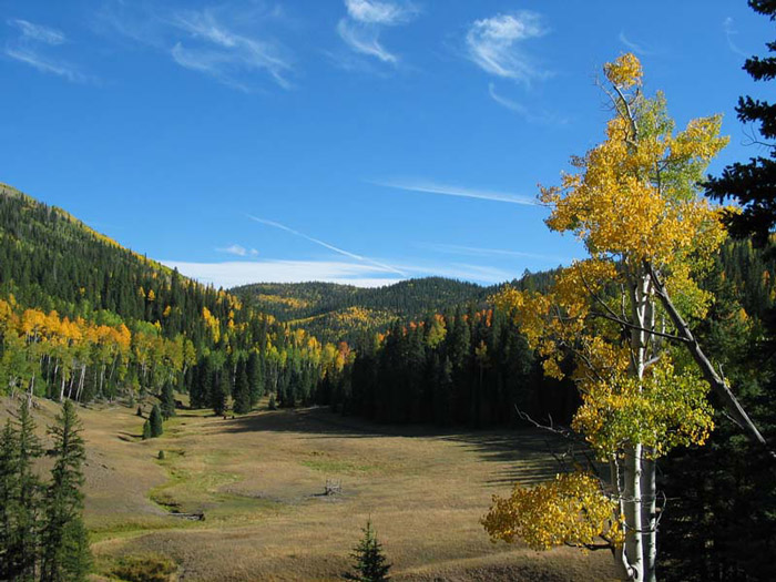
Tushar Mountains
(along UT 153) (AKA: Beaver Canyon Scenic Drive) Suggested by David Wheeler
 Directions: Go east on 200 North in Beaver. This road (State
Highway 153) follows the Beaver River and Merchant Creek to the higher
elevations of the Tushar Mountains. Directions: Go east on 200 North in Beaver. This road (State
Highway 153) follows the Beaver River and Merchant Creek to the higher
elevations of the Tushar Mountains. |
|
Details |
|