|
Virgin River and LaVerkin Creek Confluence |
 |
|
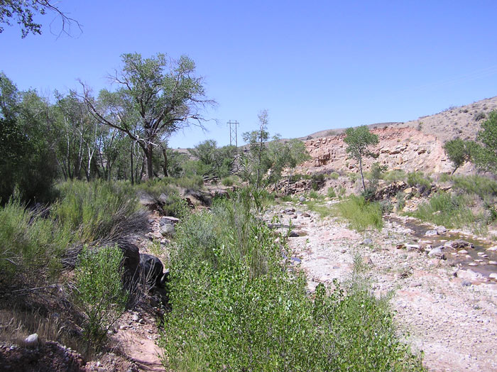
Creek Bed near the Confluence by Staff Photographer ©(June 2012) |
|
Directions: Take the SR-9 exit of I-15 and go through Hurricane and LaVerkin. After the second light in LaVerkin proceed straight down the hill as if going towards Toquerville. Just before the LaVerkin Creek bridge at the bottom of the hill, turn left into a residential area. Continue on this road as it runs parallel to the creek, becomes a dirt road and ending at a small parking lot at the beginning of the confluence trail. (Original Directions by Charlie Sheard) Description: The primary habitat is riparian with some agricultural and scrub around the edges. Birds are plentiful! eBird Data: | Confluence Park |
Virgin River Trail -- La Verkin
| |
 |
|
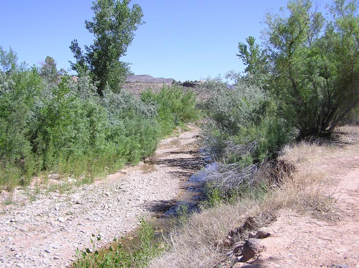
Path along LaVerkin Creek by
Staff Photographer
©(June 2012) |
 |
|
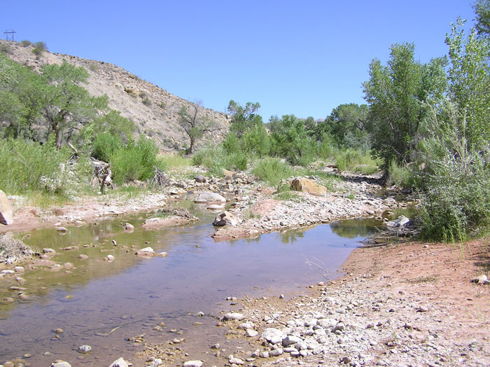
LaVerkin Creek by Staff Photographer ©(June 2012) |
|
|
|
|