|
Warm Springs Wildlife Management Area |
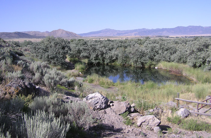
 Spring-fed Pond at the Foot of the Slope by Staff Photographer Šutahbirds.org |
|
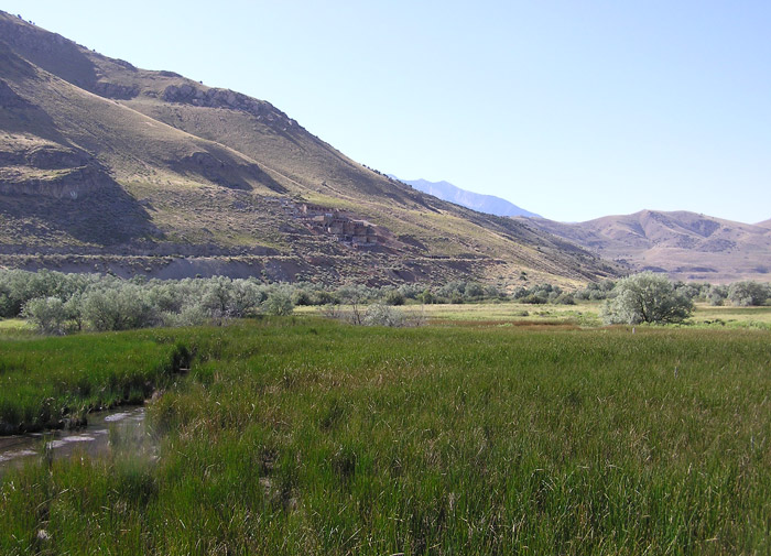
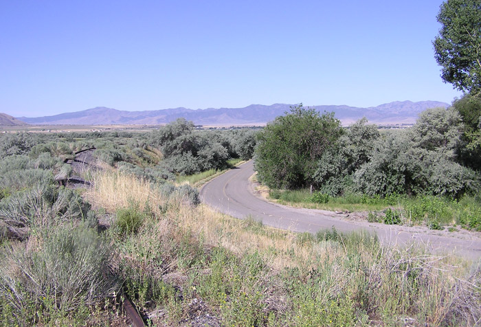
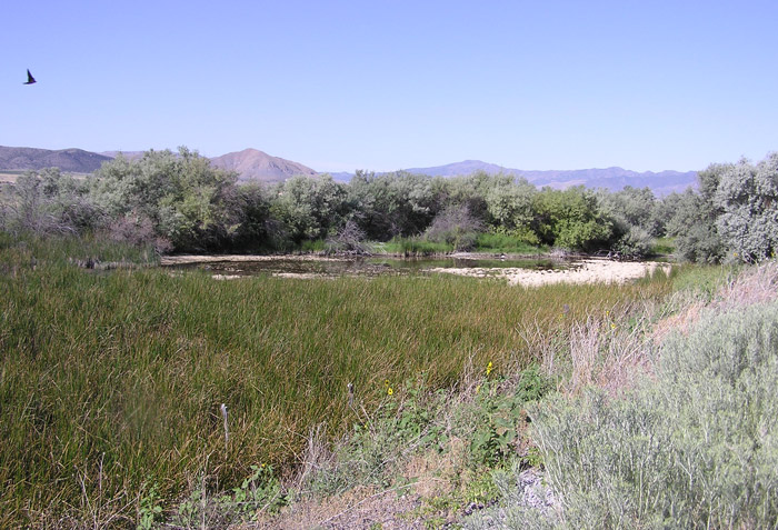
Directions: Go west from Exit 244 (I-15) in Sanatquin on US 6 about 4.4 miles. Turn left after the railroad tracks and go about 0.6 miles. Turn left over the railroad track and immediately go right to the parking lot. Description: The Warm Springs Wildlife Management Area is a series of ponds ringed by marsh and Russian Olive trees. Access is off the I-15 Santaquin exit, number 244, west on Highway 6 for 4.4 miles. After crossing the railroad tracks, take the surfaced road to the south (left) diagonally for .6 miles. Then take the dirt road that goes up and over the railroad tracks, which enters the Wildlife Area. (Right now it is closed to the public -- July 2009).The ponds are immediately below an old mine and ore processing plant south of Genola. This is a secluded place and is good for birds year round. This is a stop-over for migrating ducks and passerines. Birding: Even if the springs area is closed (maybe because of toxic minerals?) The road leading up to the area has some nice birding possibilities (check for owls in the trees at the bend of the access road) as well as scoping out the wetlands from the railroad tracks near the entrance to the springs as well as to the west.. eBird Data: |
Warm Springs WMA | |
|
|
|
|
|
|
|
|
|
|


