|
Fayette River Bottoms |
 |
|
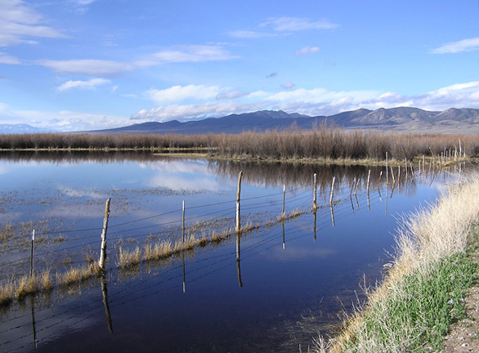
Fayette River Bottoms by Milt Moody
©Milton G. Moody |
|
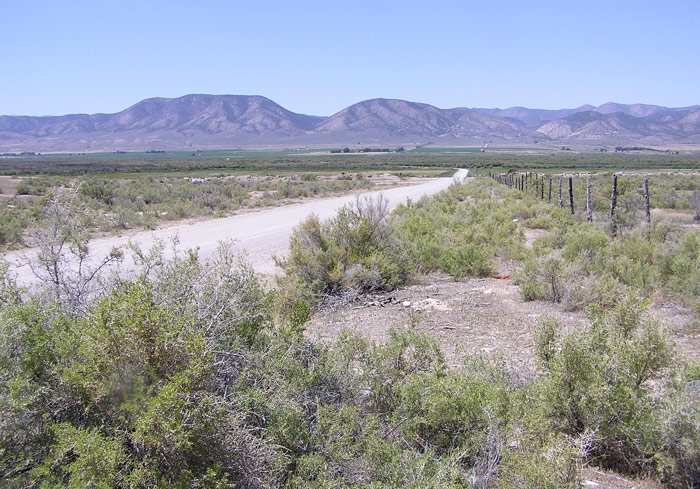
Description: This short road cutting across the Sevier River and wetlands with thick brush and shallow ponds provides good habitat for a variety of birds. Areas upstream and down stream may be flooded providing shallow ponds for waterfowl that can be observed (being aware of traffic) from the main road (UT 28). Directions: Turn west off of UT 28, just south of Fayette at mile marker 4 near the "Warm Springs Ranch House" and go about 0.2 miles toward Fayette. Turn left on Fayette River Lane (3750 South) and continue west cutting through a wetland and across a bridge about a half mile away. eBird Data: |
Fayette River Bottoms --
Fayette River Ln | Fayette
River Bottoms --Bartholamew Ln | |
 |
|
Road to the River Bottoms by Milt Moody
©Milton G. Moody |