|
Upper Duchesne River |
 |
|
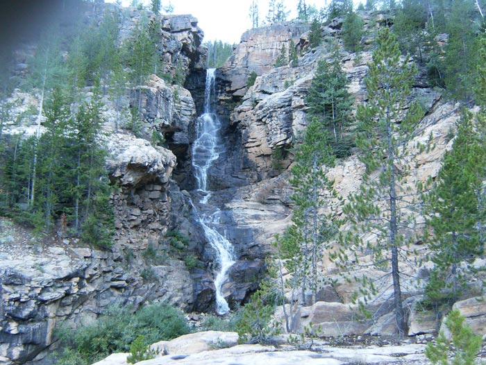
Upper Duchesne River Falls by Dave Hanscom
©Dave Hanscom |
|
|
|
eBird Data: |
Murdock Basin |
Wolf Creek Summit |
Blue Lake |
Tabiona |
Tabiona Ponds | | Yellow Pine CG | Lower Stillwater Ponds | Directions: The Upper Duchesne River drainage can be accessed from Wolf Creek Pass, from Mirror Lake, or via Murdock Basin and Little Deer Creek, also near the Mirror Lake Highway. |
 |
|
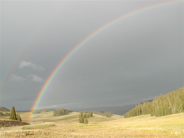
Wolf Creek Pass by Marlene Foard
©Marlene Foard |
|
Description: County lines are confusing in this area. Trails and roads east of Wolf Creek Pass are in Duchesne County, but those west of the pass are in Wasatch County. All of the trails near Mirror Lake are in Duchesne County. Murdock Basin is in Wasatch County, but the Little Deer Creek Road is mostly in Duchesne County. The falls at the base of Little Deer Creek, where it empties into the Duchesne River, is a known nesting spot for Black Swifts. This is also the East Portal of the Duchesne Tunnel, part of the Central Utah Project. Water flows through the tunnel from the Duchesne River, in the Colorado River drainage, to the Provo River, which takes it to the Wasatch Front. |
|
|
|
Upper Duchesne River Falls by Dave Hanscom
©Dave Hanscom |
|
To access the East Portal, drive up the Mirror Lake Highway to about mile
22 and turn right on the Murdock Basin road (FR-137, or 80137 on the newer
signs and maps). In about two miles this road crosses a large flat open area where people camp and drive their off-road vehicles around.
Navigation is a bit confusing here, but keep going basically eastward.
At this point the road deteriorates significantly, but if you have a high
clearance 4-wheel-drive vehicle you can continue on FR-137. In about a
half mile, turn right on FR-27 (80027) and follow that for about two more
very rocky miles down to the Duchesne River. Bear right at the bottom to
get to the East Portal and the falls. |
|
|