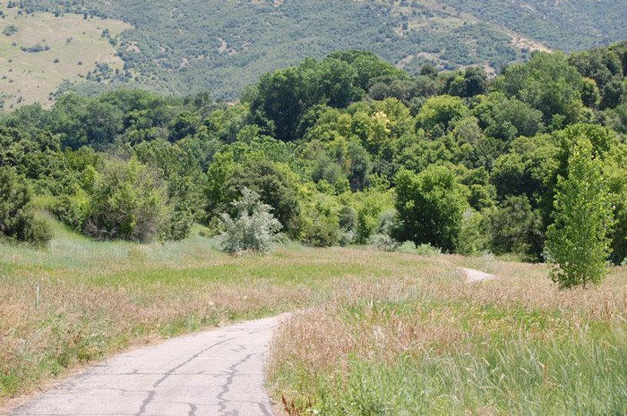
Description: Kays Creek Parkway is located in a finger canyon in East
Layton. The parkway offers a delightful walk on a smooth, paved path (great for
physically challenged birders) in a hidden suburban location. The habitat
includes scrub oak slopes, a reservoir, brush and Russian Olives along Kays Creek,
and mature and dead cottonwoods along the reservoir and creek. ~ Kristin Purdy
Directions: From US-89 in Layton, take exit 404 for SR-193, Hill
AFB/Clearfield. Drive west approximately 1 mile and turn left (south) on 2000E.
At the yield sign, turn left (east) on Deere View Drive. Drive two blocks and
turn right (south) on 2125E. 2125E winds down into the Kays Creek drainage and
dead ends at the trailhead. From I-15, take exit 334 for SR-193 Clearfield/Westpoint.
Turn east and drive 4 miles. Turn right on 2000E and follow the directions
above. ~ Kristin Purdy
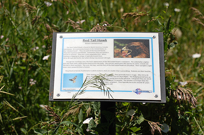
Birds: Red-tailed Hawk, Downy Woodpecker, Brown Creeper, Blue-gray
Gnatcatcher, Western Scrub-jay, Black-chinned Hummingbirds, Black-headed
Grosbeak, Lazuli Bunting, Lesser Goldfinch, Spotted Towhee, White-crowned
Sparrow (winter) ~ Kristin Purdy
Other: Best route is to turn left (east) at the trailhead and then bear
left up the hill when the trail forks. The trail winds above and around Hobbs
Reservoir, which is fenced because it's part of the Layton
municipal water supply. The trail dead ends about 1/4 mile after you cross the
bridge over Kays Creek to the east of Hobbs Reservoir. Your only choice is to
return the same way you came, but it's a nice walk both ways. You could also
bear right at the fork mentioned above and turn around when the trail ends at a
subdivision. Your third choice is to turn right at the trail head and then
return the same way back to the parking lot. ~ Kristin Purdy
eBird Data: |
Kays Creek Trail |
Nearby: Great Salt
Lake Shoreland Pres., Kaysville Ponds
Antelope Is. Causeway
|